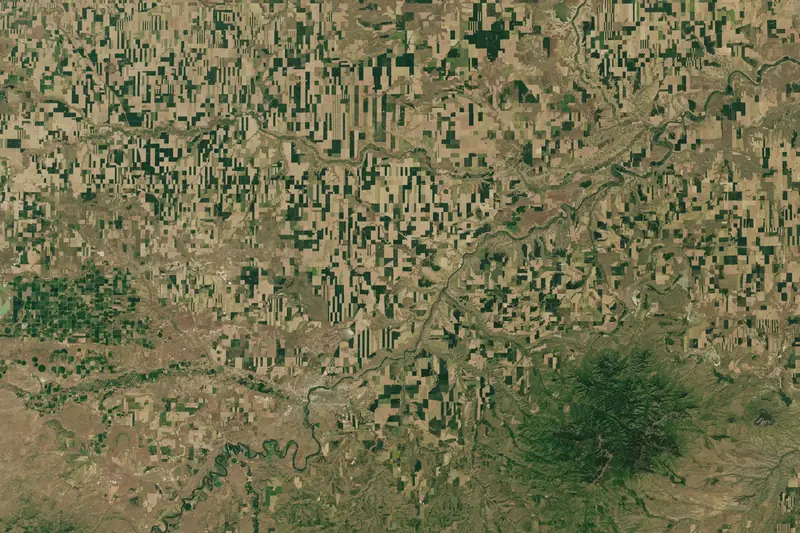
Agriculture
Training data for yield, subsidy and crop-monitoring models.

We turn satellite and aerial imagery into training data for machine-learning teams, on your imagery, free Copernicus scenes or high-resolution imagery we source for you, with the accuracy measured per class.
Book a callTraining data for yield, subsidy and crop-monitoring models.
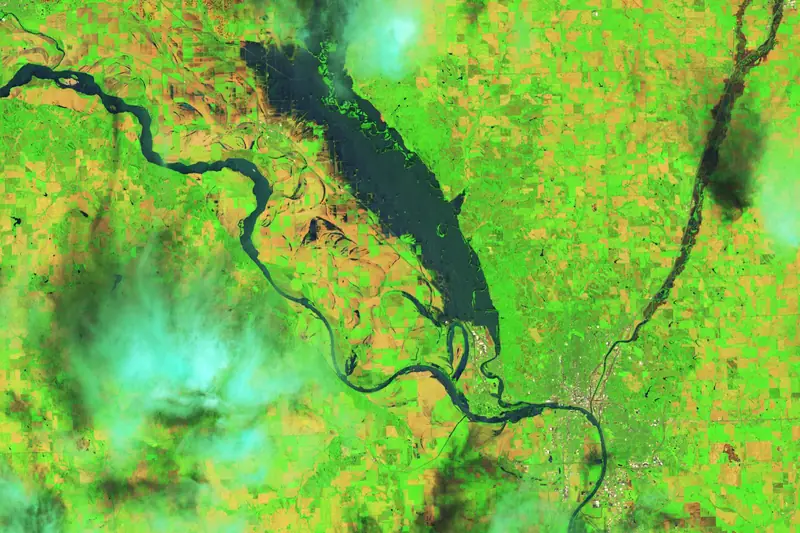
Labels for claims, catastrophe and risk models.
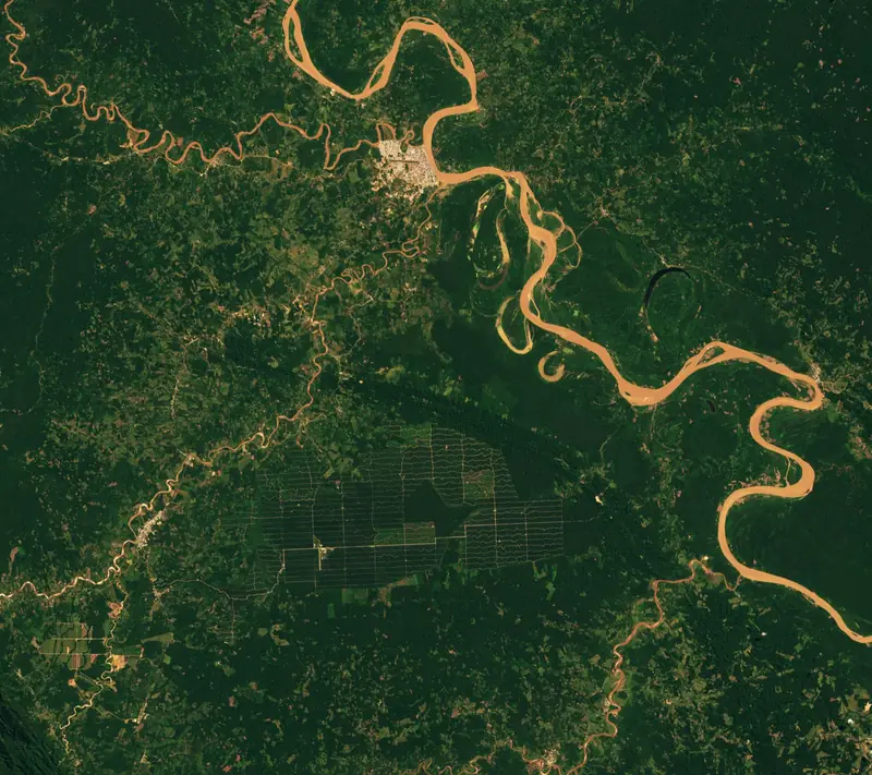
Evidence for EUDR due diligence and carbon reporting.

Consistent maps for planning, monitoring and enforcement.
Your imagery, free Copernicus data, or commercial imagery we buy for your project. Drag across each example to see it before and after labeling, or browse all label types.

Sub-metre satellite, aerial and drone RGB
Source: The Pearl-Qatar, ISS photograph ISS053-E-127736 (NASA JSC)

Sentinel-2, Landsat 8/9 and other VNIR–SWIR sensors
Source: Montana farmland, Landsat 8 OLI (NASA Earth Observatory / USGS)

Sentinel-1 and commercial SAR, day or night, through cloud
Source: Pacaya-Samaria, Peru, UAVSAR airborne radar (NASA/JPL-Caltech)

Airborne point clouds, DSM and DTM
Source: Tanana Valley, Alaska, G-LiHT airborne lidar (NASA Goddard)
Satellite data labeling means marking what is in satellite or aerial images (field boundaries, crop types, floodwater, buildings, roads, forest loss) as polygons, masks, boxes or lines. Machine-learning models learn from these labels, and the same labels can be published as map layers. IKT Spīdolas does this work for teams in agriculture, insurance, forestry and government.
Your own imagery; free Copernicus Sentinel-1, Sentinel-2 and Landsat scenes; or commercial very-high-resolution satellite imagery we buy for your project. We also label aerial and drone photos, radar (SAR) and airborne LiDAR.
The labels in the format your pipeline reads (GeoJSON, GeoPackage, Cloud-Optimized GeoTIFF masks or COCO) in your coordinate system, together with the written labeling guideline and the accuracy per class measured on a reviewed sample.
Per project. The price depends on the area, the number of classes, how many dates are needed and whether imagery has to be bought. You get a quote after a short call where we agree the class list.
Yes. The 16 label types on this site are common requests, not a limit. Rooftop solar, ships in port, greenhouses, mining change or your own class scheme: we write a guideline for it and label to that guideline.
SIA IKT Spīdolas is a company registered in Rīga, Latvia (registration number 40203763365). Projects are run remotely, for clients in any country.
Most projects need their own classes, sensor mix or target. Tell us what your model has to learn and we design the labeling around it.